Insights & Perspectives
GEOSCIENCE
IN PRACTICE
Thought leadership on GIS, remote sensing, precision agriculture, utility asset management, and the spatial technologies reshaping how we understand and manage our world.
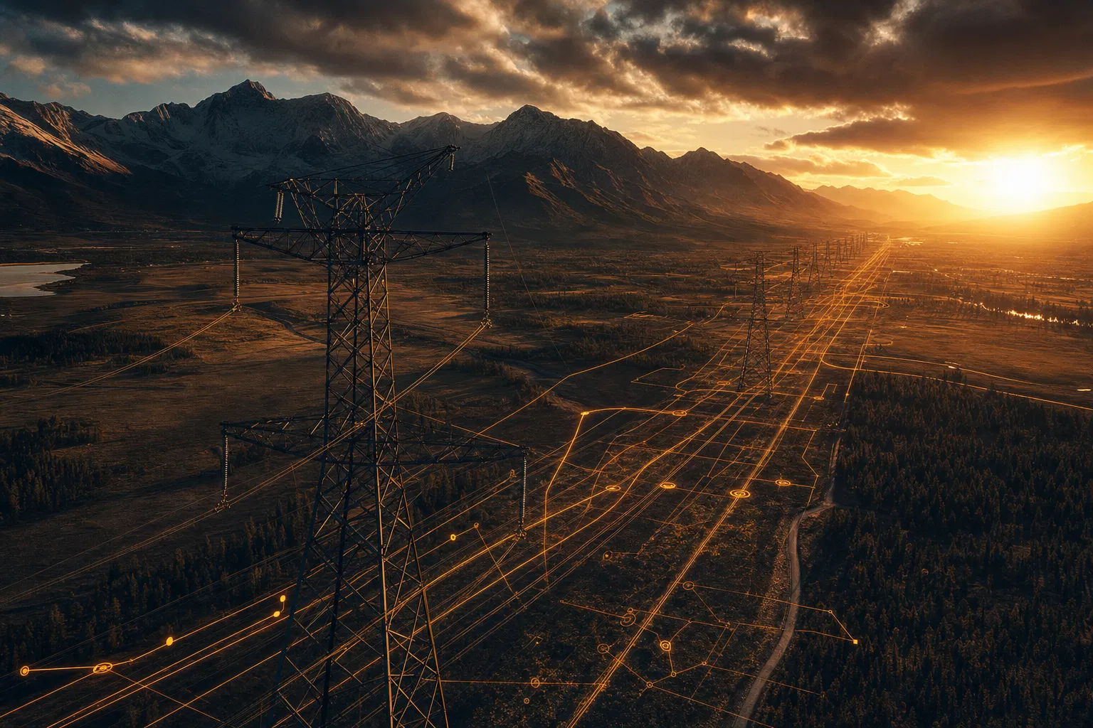
How GIS Is Transforming Utility Asset Management
Aging infrastructure, regulatory pressure, and the energy transition are forcing utilities to modernize asset management. Enterprise GIS is emerging as the foundational platform that makes it possible.
READ ARTICLE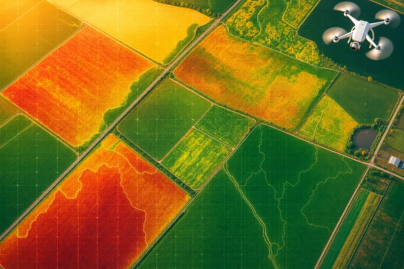
Satellite Intelligence and the Future of Precision Agriculture
Precision agriculture is no longer the exclusive domain of large commercial operations. Accessible satellite imagery and spatial analytics are democratizing field-level intelligence for producers of every scale.
READ ARTICLE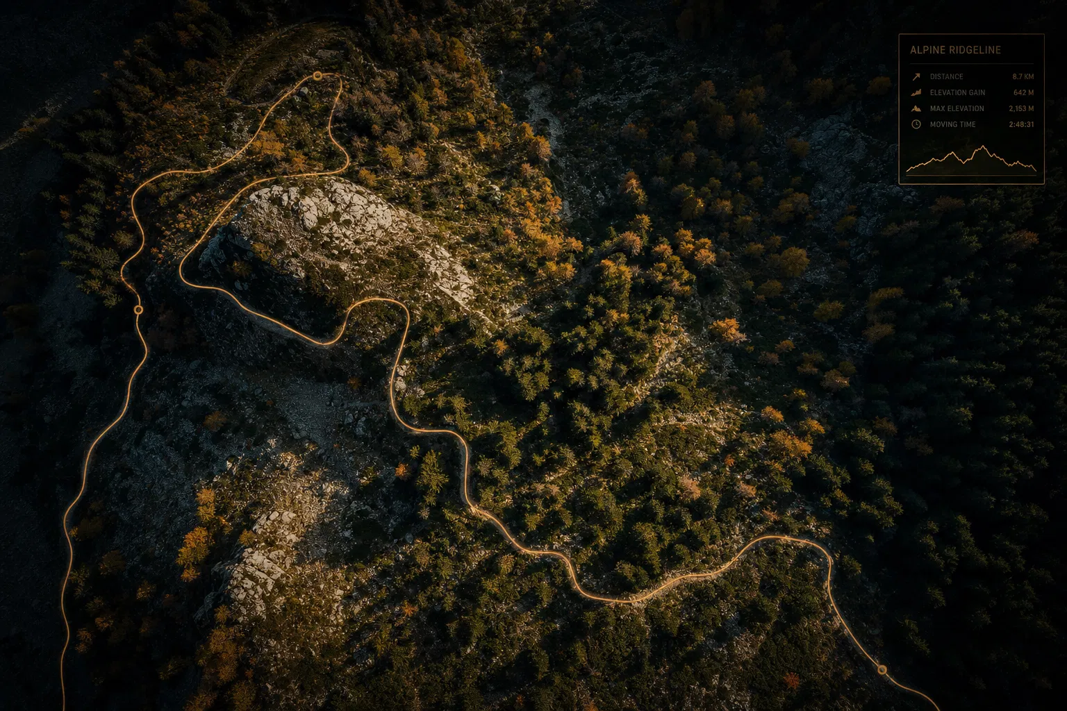
LiDAR and the Science of Sustainable Trail Design
Trail design has always been as much art as science. LiDAR terrain analysis is shifting that balance — enabling planners to optimize alignments, predict erosion, and protect sensitive ecosystems before a single shovel breaks ground.
READ ARTICLEMore articles coming soon
Subscribe to our newsletter to be notified when new insights are published.
WE VALUE YOUR PRIVACY
We use cookies and similar technologies to operate this website, remember your preferences, and — with your consent — collect anonymized analytics to improve our content. We never sell your data. Privacy Policy